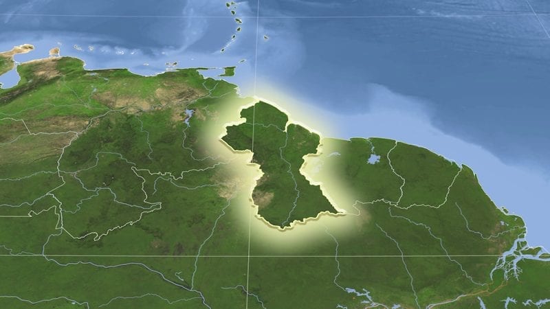
Guyana’s Foreign Secretary Robert Persaud said every Guyanese, especially leaders, should know the limits of the country’s territory with conviction. The official’s comment follows reports that the New River Triangle was presented on a map as part of Suriname’s territory at a recent conference there.
Virjanand Depoo, Guyana’s Ambassador to Suriname, was present at the conference in Paramaribo, according to a February 8 Stabroek News report.
“The New River Triangle remains an integral and indivisible part of the territory of Guyana because it was so determined by a process recognized as binding under international law,” Persaud said in a February 8 Facebook post.
The conference was held from February 4-6 by the Suriname-Guyana Chamber of Commerce (SGCC).
SGCC Chair, Dr. Vishnu Doerga, told Stabroek News that just as Guyanese citizens are taught the New River Triangle is Guyana’s, children in Suriname are taught that the territory belongs to Suriname. “We just respect whichever country we’re in. We just respect their beliefs and both governments have put in place a border commission to resolve the matter and we respect their authority and wait until they have concluded their work,” Doerga is quoted as saying.
Persaud said, however, that the current mandate of the Joint Border Commission of Guyana and Suriname is to examine the historical records related to the unresolved border issues between the two countries and make recommendations to the Foreign Ministers. “The Commission does not have a mandate to revisit the established boundary,” the official stated.
Persaud explained that the boundary between Guyana and Suriname was determined in 1936 by a joint British-Dutch-Brazilian Boundary Commission, which pegged the source of the Kutari River on the watershed with Brazil, as the tri-junction point of the three countries’ boundaries. What is now Guyana and Suriname were colonies of the United Kingdom and the Netherlands back then.
“The Mixed Commission, being satisfied that this is the only river which in any way answers to the Schomburgk’s description of the Kutari agreed that the boundary Surinam and British Guiana, as defined in the instructions issued to the Mixed Commission, should follow the left bank of its longest branch,” Persaud stated.
He said the Dutch, British and Brazilian Commissioners signed a map and a report of the tri-junction point in 1936. Guyana, Persaud added, has always enjoyed continuous occupation of its internationally recognized and legally established territory, which has never been recognized nor administered as Surinamese territory.
Tensions flared in late 2024 when Guyana’s President Irfaan Ali announced development plans for the area. Suriname’s Foreign Minister Albert Ramdin summoned Guyana’s Ambassador to protest Ali’s plans, Reuters said last November. Ali told reporters in January that Guyana’s plans for the area were a response to calls by residents for development.
The two countries, in recent years, have sought closer economic relations to bolster their petroleum-driven fortunes. These include discussions for a potential joint development of their offshore natural gas resources.


