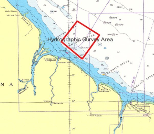
Guyana’s Maritime Administration Department (MARAD) announced that a multibeam hydrographic survey is currently ongoing off the coast of Guyana.
MARAD said the survey activities commenced on Feb. 23 and will last up to July 31.
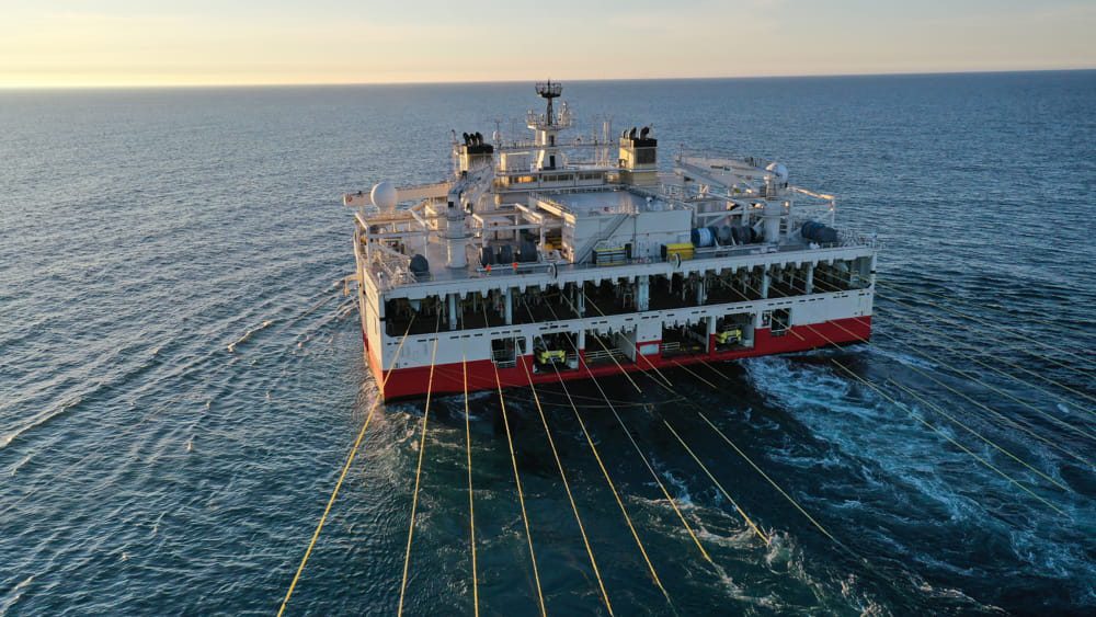
It will incorporate the use of the workboat Lee Odyssey, by IIC Technologies.
The survey area is situated approximately 08.27 nautical miles (15.32 kilometers) off the Coast of Guyana and covers an area of 802.44 square nautical miles (2752.30 square kilometers), MARAD outlined in a Feb. 27 notice.
Georgetown port now sees an average of 52 ships per week, up from 7 – Edghill | OilNOW

Hydrographic survey measures and describes the features that affect maritime navigation, marine construction, dredging, offshore oil exploration and drilling and related activities. Strong emphasis is placed on soundings, shorelines, tides, currents, seabed and submerged obstructions that relate to the previously mentioned activities.
Guyana and private investors have been conducting a series of surveys to better understand the offshore environment as the industry develops.


