By Ronald Taylor
With over 75% of its population living on the coastland of about 1.5 meters below sea level, Guyana continues to face the brunt of rising sea levels. The coastland holds significant value and is protected by sea defenses, both natural and man-made. The question often asked is, will the sea defense be able to stand the test of time?
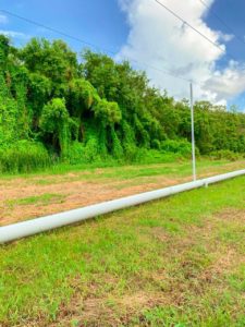
In Guyana, mangroves form part of the natural sea defense but are constantly tested throughout the years due to the change in weather and rising sea levels, resulting in erosion of the soil.
The plants help to keep the shoreline in place and protect all nearby infrastructure, agriculture and environs from the sea. The mangrove forest is also a diverse ecosystem which provides a habitat for various species of fish, birds, insects and reptiles.
Yet, mangroves are disappearing three to five times faster than overall global forest losses, with serious ecological and socioeconomic impacts. Current estimates indicate that mangrove coverage has been divided by two in the past 40 years UNESCO reported in July 2022.
The Caribbean Youth Environment Network in Guyana (CYEN) has made strides in ensuring that the mangrove developed areas on the coastlands continue to be preserved.
CYEN-representative and volunteer, Ms. Suphane Dash-Alleyne, said that the aim is to be proactive in the fight against climate challenges while spreading awareness on environmental issues, which include mangrove protection.
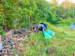
“Now, through the removal of waste on the coastland that was affecting the growth of mangroves in the Vreed-en-Hoop community, we were able to raise awareness about the visible effects of plastic pollution within the mangrove forested area. We hope that this visibility will help to bring increased efforts toward phasing out single-use plastics, towards conservation and preservation of ecosystems not only along the coastlines but in the riverine areas as well.”

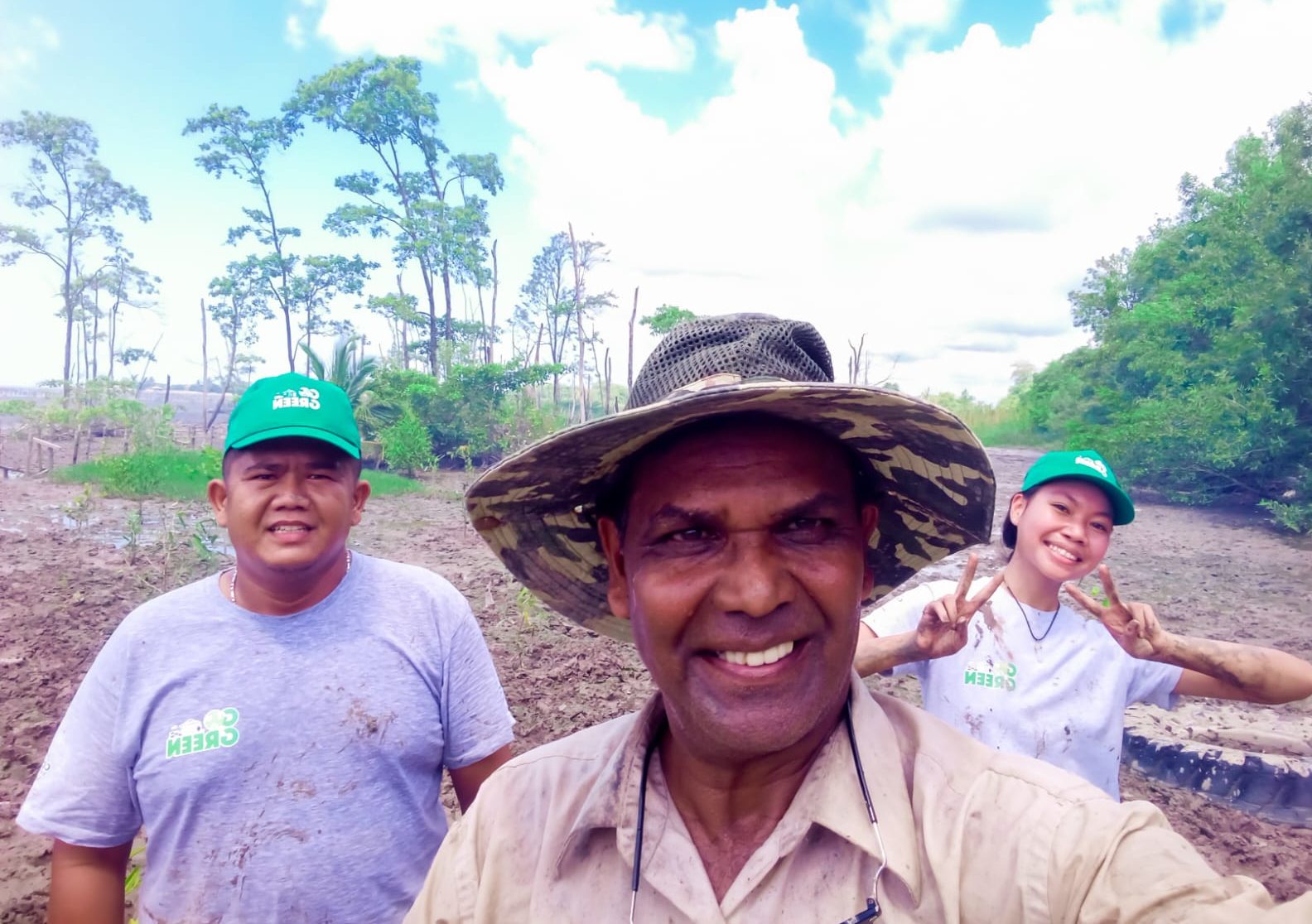
The CYEN-volunteer added that, “… the second phase of our project was the replanting of mangroves to help replenish the lost plant life. Since our last exercise in September, we were also able to monitor the growth of the leaf and tree length and the amount of other pneumatophores (aerial root).”
Ms. Dash-Alleyne explained that the mangrove project is a collaborative effort of various non-governmental organisations with environmental protection youth volunteer groups that venture into the mangrove forest to do quarterly clean-ups in partnership with the Ocean Conservancy and Eco-Trust Society, University of Guyana.
Professor Sieuwnath Naipal, lecturer and researcher specialised in climate change and water at the Anton de Kom University of Suriname, said that just like Guyana, mangrove restoration has helped in saving the coastal areas of Suriname from adverse weather challenges.
“In Paramaribo, the rate of erosion is very high for dams and sea walls unfortunately. So, we had to take action to rehabilitate mangroves and also trap sediments by the construction of new dams in a process that started about seven years ago on the coastland… The mangroves itself were decreasing and there wasn’t much regeneration naturally taking place, so we had to help the nature as much as possible to advance.”
The Professor who started his early career in hydrology and climate change since 1996 said that he has been paying close attention to working on measures to mitigate and adapt projects in climate and mangrove protection. He said that due to rising factors, the agriculture communities by the coast were able to withstand with the implementations of mangrove replanting.
“You have areas where agriculture activities are being done right at the coastline, but with the increase in erosion, something must be done. If you do not have the resources for setting up a seawall, then you have to strengthen the support of mangroves. The benefit to the people is safety and protection by having the mangroves at the coastline that will not allow sea water to penetrate and threaten the agriculture, fishery sector etc.”
Professor Naipal said that, as neighbouring countries and those affected by rising sea levels, governments must be able to strategise and learn from each other to avoid facing the same consequences.

“In this regard, I’m always referring to Paramaribo and Georgetown, Georgetown has mangroves, seawalls and dams to protect their lands from the sea. Meanwhile, in Paramaribo, we have just mangroves to the front, no sea walls or dams but there is a threat. We must look to the neighbours and try to learn some lessons because if you are very close to the coastline, the mangroves will disappear and lose its functions.”
He added, “We have to see that the coastlines grow, because we are getting the sediments from the Amazon constantly, and if we trap that, we will be able to build the coast. If you are too close to the coast, the sediments will not settle. We have to think of some techniques to trap the sediments to help protect the mangroves and land.”
By reducing activities like dumping of garbage and waste, and stopping the removal of natural vegetation in the mangrove areas, we will be able to in return accomplish the UN Decade on Ecosystem Restoration (2021-2030) [aim]. The restoration aim is to prevent and stop the degradation of our ecosystems to support all life on earth and future generations. Mangroves have a societal value and provide many long term benefits to our communities, we must continue to restore and protect them.”
This story is published with the support of Climate Tracker and Open Society Foundation’s Caribbean Climate Justice Journalism Fellowship.


